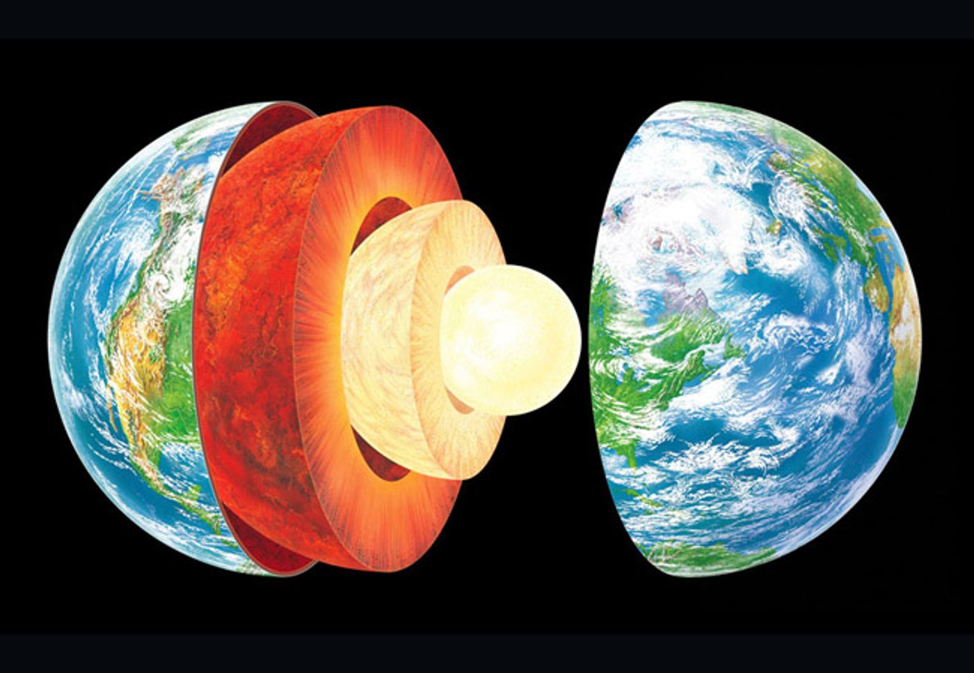
Think back to Earth Science class in middle school. You probably learned that our planet has three layers: crust, mantle, and core. And while that is true, it’s more complicated than that – a fact evidenced by a recent study published in Science from geophysicists at Princeton. The study, which used data from a huge earthquake in Bolivia in 1994, highlights the scientists’ discovery of mountains 660 kilometers into the depths of the Earth. Say what?!
That’s right, mountains, way down deep within the Earth at a point which the scientists are calling “the 660-km boundary.” This boundary separates the upper and lower mantle and showed a surface roughness greater than that of the surface that we live on. "In other words, stronger topography than the Rocky Mountains or the Appalachians is present at the 660-km boundary," said Wenbo Wu, lead author of the paper.
To get a look at this topography, Wu and collaborators Jessica Irving from Princeton and Sidao Ni from the Institute of Geodesy and Geophysics in China analyzed waves from Bolivia’s 8.2 magnitude earthquake 25 years ago. The quake was the second-largest deep earthquake ever recorded and provides a peek into the inner depths of the planet with the help of a supercomputer that simulates the behavior of waves in the deep Earth.
"We know that almost all objects have surface roughness and therefore scatter light," said Wu. "That's why we can see these objects -- the scattering waves carry the information about the surface's roughness. In this study, we investigated scattered seismic waves traveling inside the Earth to constrain the roughness of the Earth's 660-km boundary."
While the roughness alerted the scientists to the presence of the 660-km boundary topography, the researchers were unable to determine the height of the mountains existing at these depths. Nevertheless, the complexity of the topography is a revelation in itself – to know that Earth’s mantle has just as much topographic variety as Earth’s surface.
Furthermore, this finding also has a significant influence on how we view the geologic history of our planet. "It's easy to assume, given we can only detect seismic waves traveling through the Earth in its current state, that seismologists can't help understand how Earth's interior has changed over the past 4.5 billion years," said Irving. "What's exciting about these results is that they give us new information to understand the fate of ancient tectonic plates which have descended into the mantle, and where ancient mantle material might still reside."
Sources: Science Daily, Science