Tracking marine microplastics from the sky
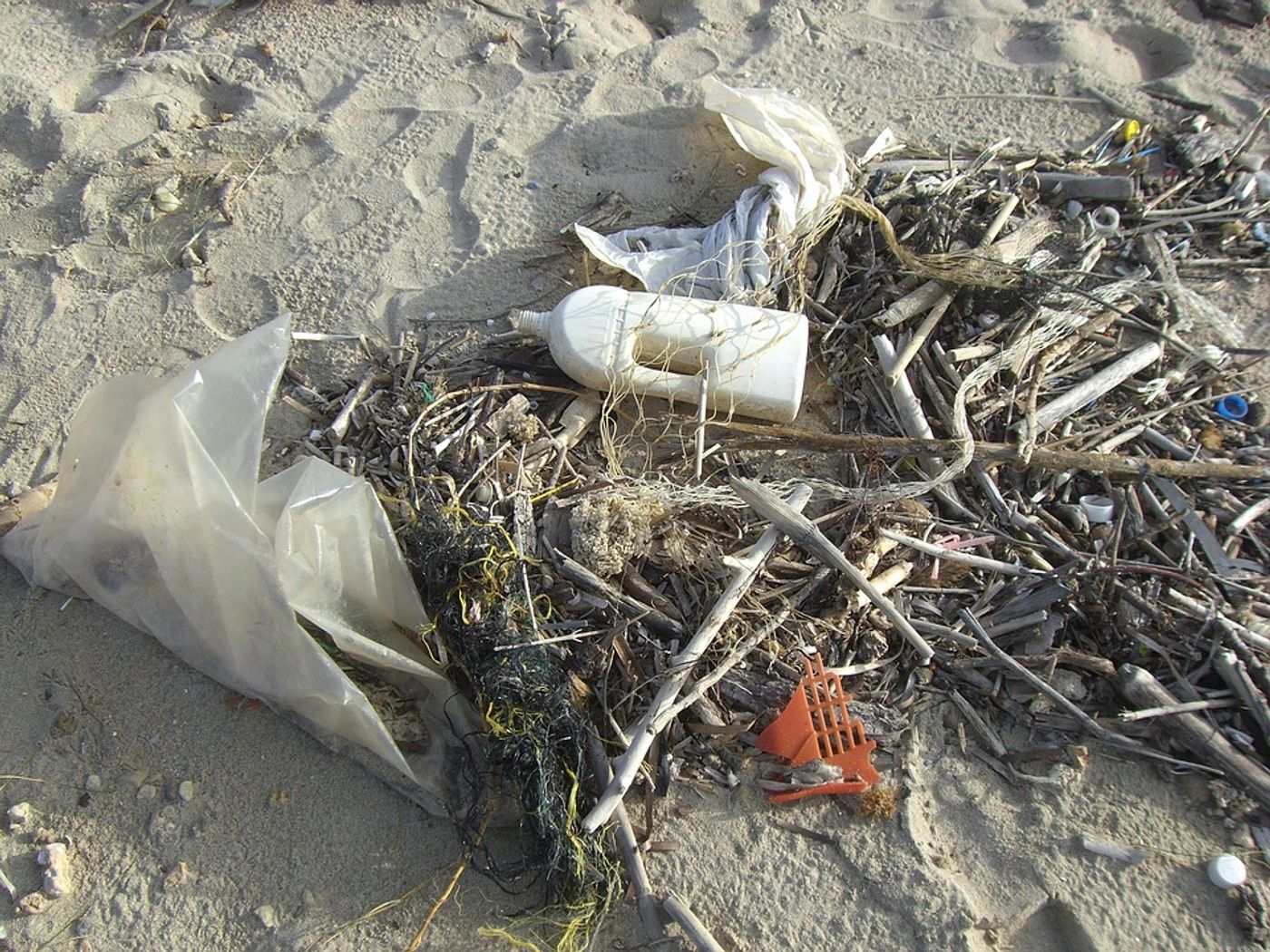
Researchers at the University of Michigan have figured out how to more accurately track microplastics in the ocean using data from NASA's Cyclone Global Navigation Satellite System (CYGNSS). Marine microplastics come from the degradation of plastics in the ocean by way of sunlight and current and wave motion. Microplastics threaten marine species as well as species that eat marine species (ahem…humans).
CYGNSS is comprised of eight satellites that gather data on wind speeds above Earth's oceans as well as ocean roughness. While the system is intended to collect information about the strength of hurricanes, the University of Michigan researchers have developed a new purpose for the system: marine microplastic monitoring.
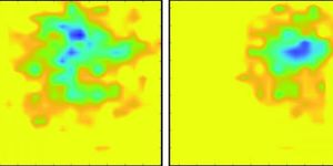
CYGNSS relies on radar to measure wind speed and floating debris in order to calculate ocean roughness. By turning this calculation on its side, the researchers were able to look for the presence of microplastics by identifying locations where ocean roughness was less than predicted given certain wind speeds. They verified their calculations with current models that pinpoint marine microplastic presence.
This CYGNSS-based technique determines the presence of microplastics reveals in smoother waters; it also offers a more precise method for monitoring marine microplastics. Currently, microplastic concentrations in the ocean are measured from plankton net trawling that collect microplastics as byproducts – in other words, not an ideal scientific tool.
“This new method will provide better monitoring of ocean microplastics and will support future model development and validation,” write the authors, noting that “time-lapse images at finer spatial and temporal scales reveal episodic bursts of microplastic tracers in the outflow from major river discharges into the sea.”
Sources: IEEE Transactions on Geoscience and Remote Sensing, Science Daily
