Reports cards are out! See how your coastal city scored on climate change
And you thought that you were done with report cards once you finished high school….
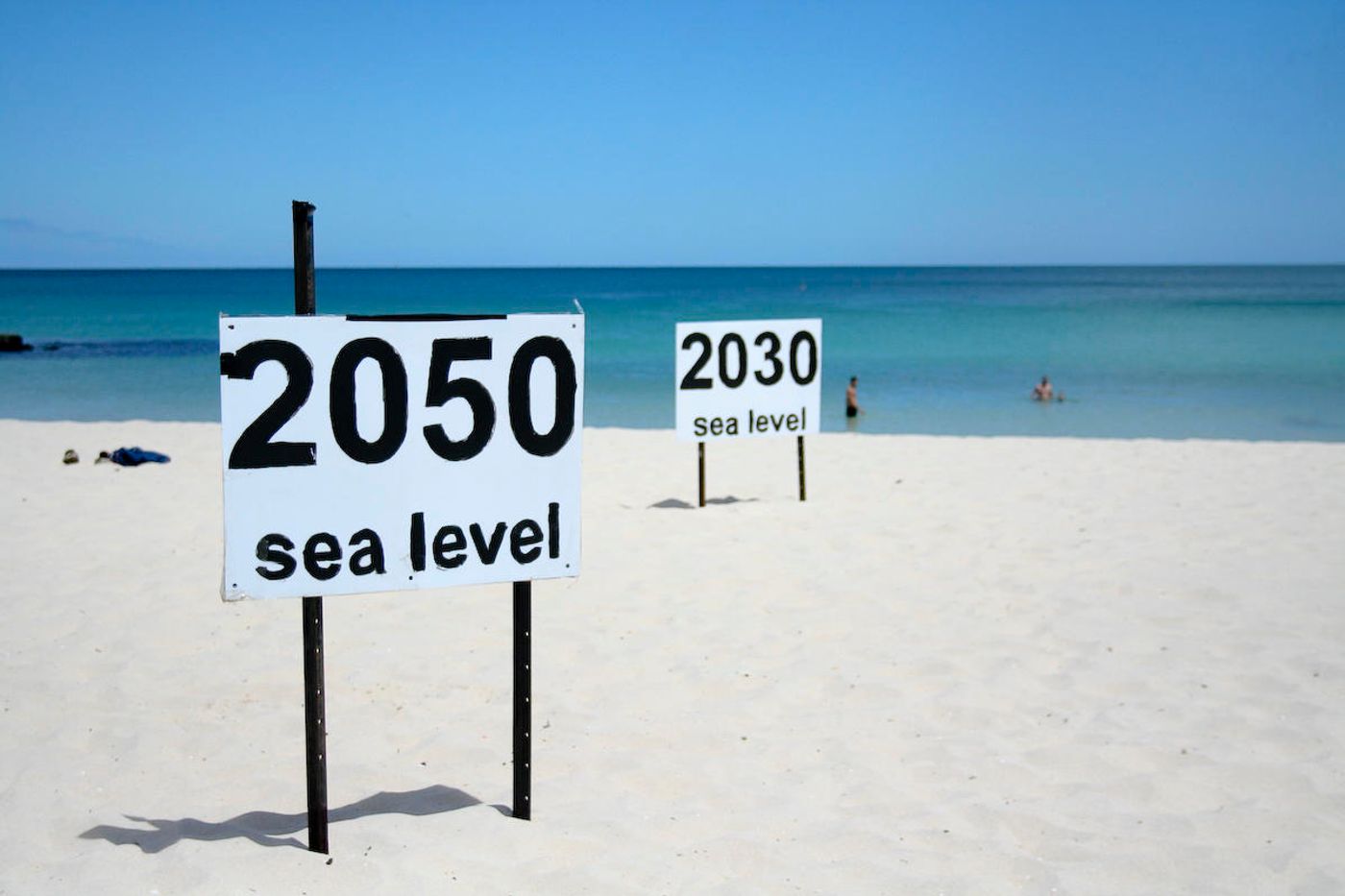
Well, a new study from William & Mary's Virginia Institute of Marine Science (VIMS) thinks it’s about to hand out those grades again. The study comes from researchers, whom recently introduced a web-based report card system that monitors and forecasts changes in sea level at 32 sites along the US coasts. Report cards will be handed out at the beginning of each year in January and will provide detailed forecasts for each location up through 2050.
The team’s collaboration comes as an effort to make more frequent and complete projections for sea level rise, projections that incorporate local and regional variation. To do so, the team used data from federal tidal gauges at the 32 different sites around the county. But they also took the statistics from a different angle. Whereas NOAA uses linear rates to predict sea-level changes, this study used non-linear, accelerating rates to generate their report cards. Basically, this statistical change accounts for faster-melting ice sheets and other climate change data that makes using linear stats a bit of a risk. “We think the ice sheets are melting faster today than they ever have before, and if that's true then the previous 90 years of data won't accurately predict the future," summed up Molly Mitchell, a scientist on the case.
The researchers also incorporated another difference into their methods to determine their projections: they looked at the changes in water level relative to the land surface that people actually inhabit – instead of the absolute sea-level measures that many models use. And they looked at how sinking land impacts sea-level rise models.
The lead scientist, John Boon, says "Our report cards show what sea level has been doing recently, what's happening now at your locality. Numerous studies show that local rates of sea-level rise and acceleration differ substantially from the global rates published by the IPCC and NOAA -- a key result because local rates of relative sea-level rise give a direct indication of the extent to which homes, buildings, and roads are at risk of flooding." Understanding these subtleties are crucial to proactive preparation and management, the scientists explain.
So what, exactly, are these sites getting graded on?
According to Science Daily, the report cards have three parts: “the projection of sea-level height to the year 2050, a display of recent trends in the rates of sea-level change, and an explanation of processes affecting sea level at each locality.” You can check out each site’s scores at http://www.vims.edu/sealevelreportcard. More information can be found in the VIMS technical report, called “Anthropocene Sea Level Change: A History of Recent Trends Observed in the U.S. East, Gulf and West Coast Regions,” available through the Hargis Library at VIMS.
Sources: Science Daily, Daily Press


