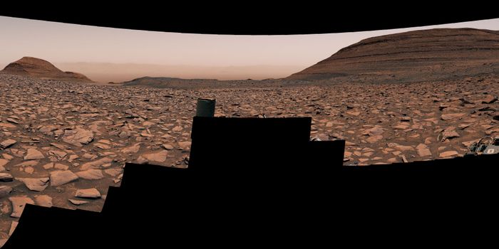
As NASA’s Perseverance rover continues to explore the surface of Mars, an open-source, online mapping software known as Multi-Mission Geographic Information System (MMGIS) has been instrumental in determining the best routes for the car-sized rover and landing sites for its Ingenuity helicopter prior to the latter’s “retirement” but is also available for the public to follow the mission, as well. This software holds the potential to help both scientists and the public explore Mars in new and exciting ways for years to come.
“Maps and images are a common language between different people — scientists, engineers, and management,” said Dr. Nathan Williams, who is a mapping specialist at NASA JPL and was a key player in selecting Jezero Crater as the landing site for the Perseverance rover. “They help make sure everyone’s on the same page moving forward, in a united front to achieve the best science that we can.”
Officially licensed in 2022, MMGIS combines orbital and surface images that allows users to follow the paths of Perseverance and its sister rover, Curiosity, which touched down in Gale Crater in 2012. What makes MMGIS unique is its user-friendly interface, enabling members of the public to explore Mars without needing advanced data analysis experience, instead only needing minor programming knowledge to both download and operate the software. Through this, NASA hopes to enable the public to contribute to the goal of exploring Mars in new and exciting ways. Some of the key features of MMGIS is 2D and 3D data maps, customized layouts, detailed route maps of the rovers, and it’s completely free to both download and use.
“Every mission is contributing back to the other missions and future missions in terms of new tools and techniques to develop,” said Dr. Fred Calef III, who is also a mapping specialist at NASA JPL and listed as one of the contacts for MMGIS. “It’s not just you working on something. It’s being able to share data between people ... getting a higher order of science.”
How will MMGIS help scientists and the public explore Mars in the coming years and decades? Only time will tell, and this is why we science!
As always, keep doing science & keep looking up!
Sources: NASA, NASA JPL
Featured Image: Image of Perseverance's backshell in Jezero Crater obtained by the Ingenuity helicopter from an altitude of 26 feet (8 meters) during its 26th flight at Mars on April 19, 2022. (Credit: NASA/JPL-Caltech)