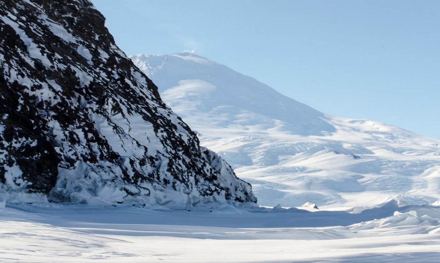
Scientists have completed the most detailed map of the land under the frozen ice sheet of Antarctica. This is the third version of this map, and is known as Bedmap3. It has incorporated data from ships, planes, satellites, and even sleds to create a view of the continent under the 27 million cubic kilometers of ice that now cover it. The data was gathered in a variety of ways, such as through radar, gravity measures, and seismic reflection. The mountains and canyons of the continent can now be seen with a topographic map. The findings have been reported in the journal Scientific Data.
This more refined map has double the data points of the previous version, and these 82 million points have been rendered in three dimensions. We now know far more about areas around the South Pole, East Antarctica, Transantarctic Mountains and West Antarctic coast.
Many grounding lines, where the ice at the continents edge meets the sea, can now be visualized.
The work revealed the total volume of ice on Antarctica and its shelves, which is about 27.17 million cubic kilometers. The total area of Antarctic ice was found to be about 13.63 million square kilometers, and its thickness, including shelves, is about 1,948 meters (6,390 feet). If all of this ice melted, it has the potential to raise sea levels by about 58 meters (190 feet), according to the study.
"This is the fundamental information that underpins the computer models we use to investigate how the ice will flow across the continent as temperatures rise. Imagine pouring syrup over a rock cake: all the lumps, all the bumps, will determine where the syrup goes and how fast. And so it is with Antarctica: some ridges will hold up the flowing ice; the hollows and smooth bits are where that ice could accelerate," said co-corresponding study author Dr. Hamish Pritchard, a glaciologist at British Antarctic Survey (BAS).
The work has provided a clearer representation of deep valleys and rocky mountains. It has also generated more accurate estimates of the height, shape, and thicknesses of floating ice shelves that float above the ocean past the edge of the land.
"In general, it's become clear the Antarctic Ice Sheet is thicker than we originally realized and has a larger volume of ice that is grounded on a rock bed sitting below sea level. This puts the ice at greater risk of melting due to the incursion of warm ocean water that's occurring at the fringes of the continent. What Bedmap3 is showing us is that we have got a slightly more vulnerable Antarctica than we previously thought," added co-corresponding study author Peter Fretwell, mapping specialist at BAS.
Experienced research scientist and technical expert with authorships on over 30 peer-reviewed publications, traveler to over 70 countries, published photographer and internationally-exhibited painter, volunteer trained in disaster-response, CPR and DV counseling.