A small region in the southern Alaska coast saw an almost constant amount of rain, snow and glacial melting between 2003 and 2009 according to a new study. The resulting increase in fresh water being emptied into the Gulf of Alaska would be the sixth largest coastal river in the world if it flowed as a single stream.
However, since this runoff actually originates from thousands of small sources flowing off mountains. These mountains are unique in that they go from their base at sea level to dramatic heights over very short distances of land. The runoff has a quick path to the sea, making the situation much more significant.
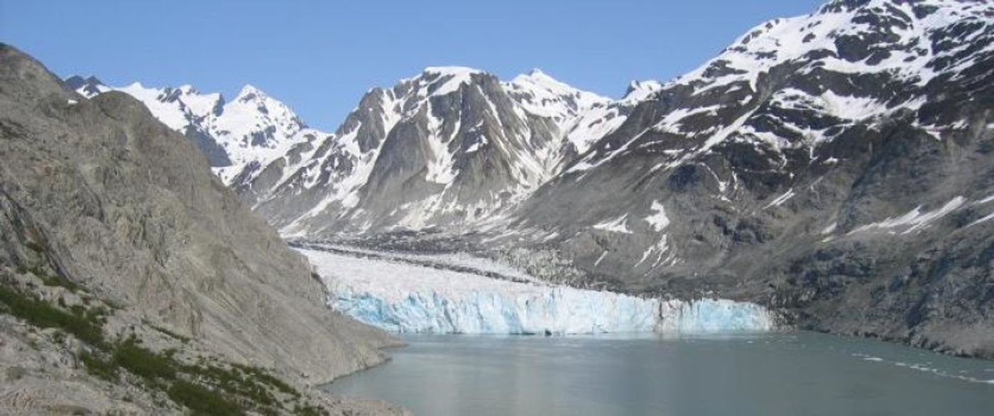
The study, from a team at the College of Engineering at Oregon State University, was authored by Associate Professor David Hill and reported in the Journal of Geophysical Research. Anthony Arendt at the University of Alaska-Fairbanks co-authored the study and the North Pacific Research Board supported it.
Scientists believe that because this runoff comes from several small sources, its actual totality has received less attention. Research methods that are more precise than ever before however, have shown that the amount and importance of the runoff bears watching. The environment is seriously impacted by this much water, affecting everything from marine life, to the fishing industry to global sea levels.
The collective fresh water discharge studied is more than four times greater than the massive Yukon River of Alaska and Canada, and half again as much as the Mississippi River, which drains through all or part of 31 states, a land mass more than six times as large as the Alaska coast.
"Freshwater runoff of this magnitude can influence marine biology, nearshore oceanographic studies of temperature and salinity, ocean currents, sea level and other issues," said Hill,
"This is an area of considerable interest, with its many retreating glaciers," Hill added, "and with this data as a baseline we'll now be able to better monitor how it changes in the future."
.
Melting glaciers contribute about 57 cubic kilometers of water a year to the gulf, and there is approximately 792 cubic kilometers produced by annual precipitation in the area. This study is one of the first studies to accurately separate out the amount of water that originates from the melting of glaciers from the precipitation figures. This combination produces an amount of water that's larger than many of the world's great rivers, such as the Ganges, Nile, Volga, Niger, Columbia, Danube or Yellow River.
"By combining satellite technology with on-the-ground hydraulic measurements and modeling, we're able to develop much more precise information over a wider area than ever before possible," Hill said.
The data were acquired as an average of precipitation, glacial melting and runoff over a six-year period, from 2003 to 2009. The extraordinary precipitation that sets the stage for this runoff averages about 6 feet per year for the entire area, Hill said, and more than 30 feet in some areas.
Future trends could not be extrapolated from the data collected because although global warming is predicted at a certain rate in the future, precipitation factors are not as exact.
The precision of this study was increased over previous studies through the use of NASA's Gravity Recovery and Climate Experiment, or GRACE satellites, which can make detailed measurements of gravity. From these measurements they can estimate the mass of the glaciers they observe from space. As the glacial mass decreases over time, the amount of melted water that was produced can be calculated.
Glacier Bay National Park is home to some of the most rapidly retreating glaciers in the world and this area was a large part of the study. The glaciers are visited annually by hundreds of thousands of tourists, many on cruise ships, and scientists hope this visibility will bring awareness to the situation.


