Bali prepares for huge volcanic eruption
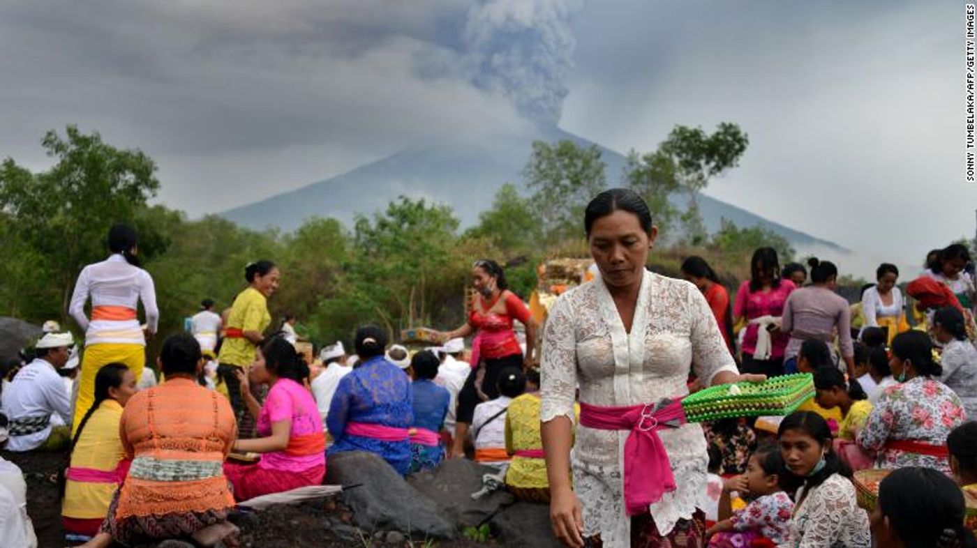
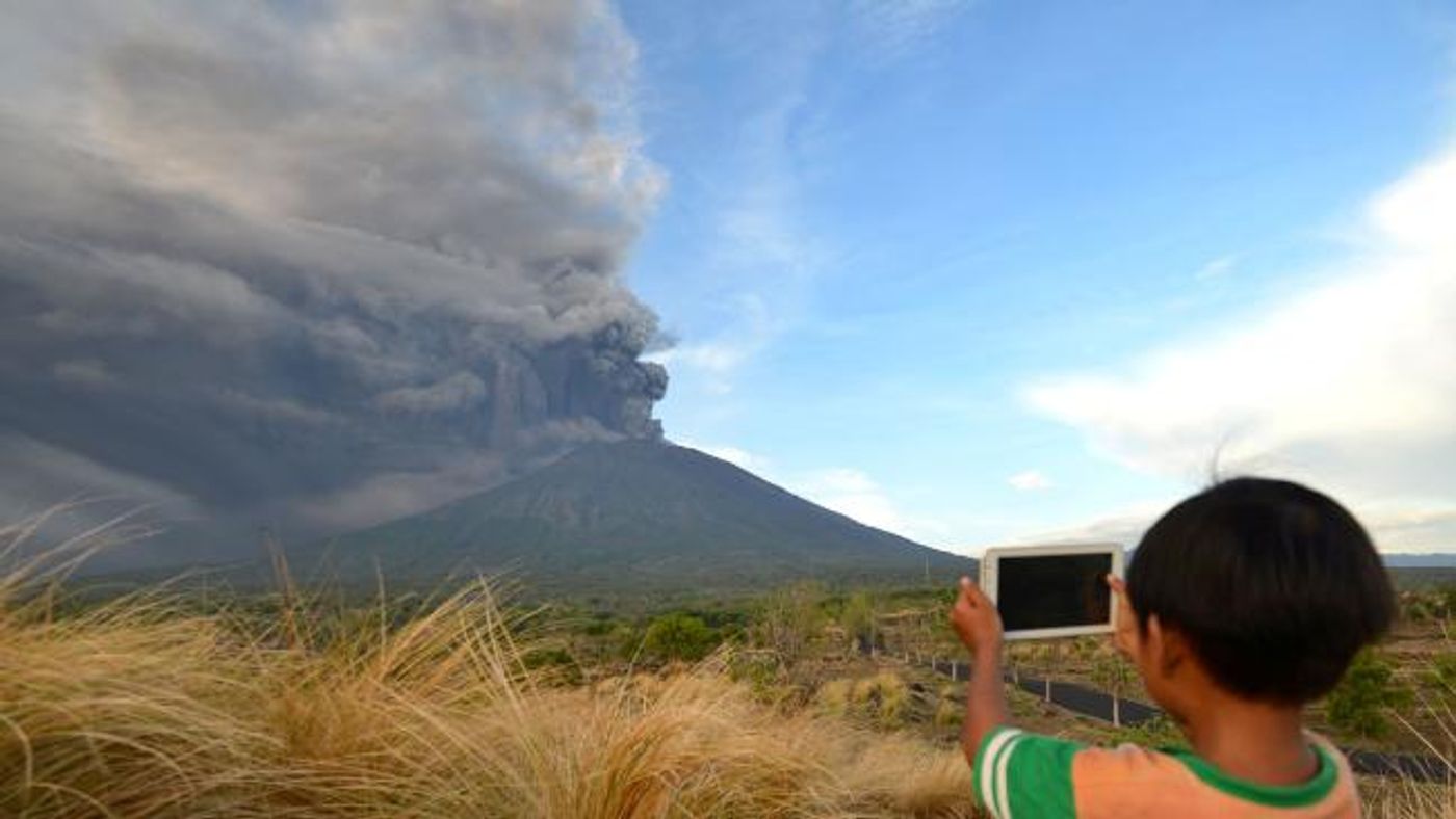
The Balinese and many tourists all have their eyes toward the sky, watching the ash that has been spewing from Mount Agung volcano for almost a week now. Watch the time-lapse video from The Guardian below to see the volcano's evolution.
Indonesian officials have sent out evacuation warnings for an estimated 100,000 people; as of yet, 40,000 have been moved away from the area. In addition to locals, thousands of travelers are stuck because the main airport closed. The Bali Provincial Board for Disaster Relief (BNPB) placed the designated exclusion zone covering an 8-10km radius of the volcano.
Authorities reported that Mount Agung is in the magmatic phase, thus placing the warning level to the maximum of 4 on Monday morning. “We ask people in the danger zone to evacuate immediately because there’s a potential for a bigger eruption,” said Sutopo Purwo Nugroho, a spokesman for BNPB. “Not all residents have evacuated yet. There are those [who have not left] because their farm animals haven’t been evacuated yet. There are those who feel they are safe,” Sutopo said.
Authorities are also concerned about mudflows. Rainfall near the volcano has resulted in volcanic mudflows and as the region enters the rainy season, this could be a cause for danger surrounding rivers. "The pyroclastic material of (the) Mount Agung eruption will continue to grow. The rain will increase during the rainy season. Potential lava floods will increase. Do not do (engage in) activities around the river," Sutopo posted on Twitter.
Mount Agung last erupted in 1963 and killed more than 1,000 people.
Sources: BBC, CNN, The Guardian


